
Farming in Protected Landscapes
Farming in Protected Landscapes in Isle of Wight Area of Outstanding Natural Beauty The Defra-funded Farming in Protected Landscapes programme will be open for applications from July 2021. Here we explain what the programme can support and how it will work, to encourage strong applications from the Isle of Wight Area of Outstanding Natural Beauty […]
UNESCO Sites Across the Channel – Interreg Project
UNESCO Sites Across the Channel A new model of sustainable tourism We are thrilled to announce a new project to further develop sustainable tourism opportunities using the UNESCO Biosphere reserve designation for the Isle of Wight. This exciting new project aims to expand on the wonderful UNESCO World Biosphere Reserve status for the Isle of […]
Undercliff
The largest of many landslip areas on the Island is the Undercliff.
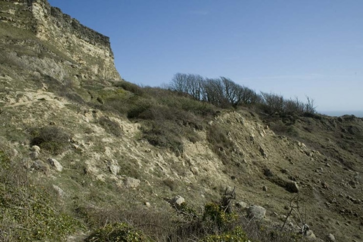
Soft Cliffs & Chines

The cliffs on the south side of the Island are prone to slumping and this process of erosion is very important for the wildlife that lives in this exposed area.
Sandy Hills
Sandstone hills and gravel ridges are found in small areas south of the main chalk ridge which runs along the middle of the Island.
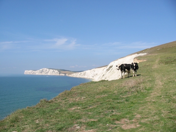
Rocky Cliffs
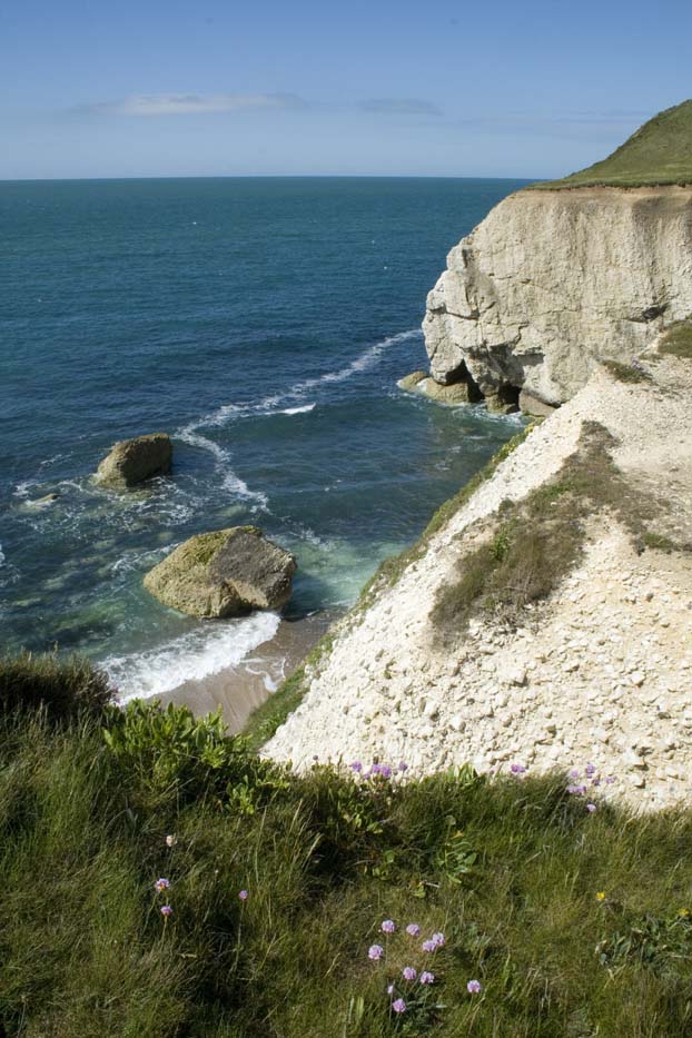
The Island’s remarkable geology is easily visible where the sea has worn away coastal rocks.
Muddy Shores
The muddy shore in estuaries and creeks is revealed at low tide and can be very wide.
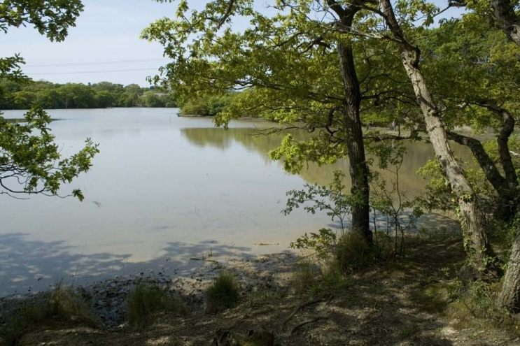
Woodland
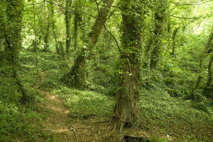
Ancient woodland occurs on the heavier soils in the north of the Island. These large areas of plantation and mixed woodland are a dominant feature in the landscape.
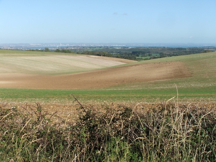
Chalk Downs
The muddy shore in estuaries and creeks is revealed at low tide and can be very wide. These intertidal areas are important places for wildlife. Birds particularly visit tidal rivers at low tide to roost and feed on the minibeasts that live in the soft mud. From prehistoric times these harbours and creeks have been […]